


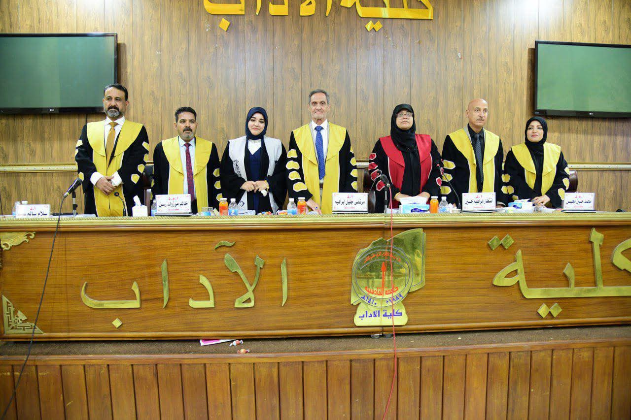
A doctoral dissertation at the College of Arts, Al-Qadisiyah University, entitled “Spatial Modeling of Soil Classification and its Impact on Agricultural Production in Babylon Governorate Using GIS,” was discussed by researcher Duaa Musa Naeem Al-Asadi, under the supervision of Professor Dr. Salam Salem Abdul-Jubouri.
The study aimed to build a spatial model for soil classification in Babylon Governorate to highlight the nature of the soil in terms of its physical and chemical properties and to determine the suitability of the soil for crop cultivation.
The study reached a number of conclusions, the most important of which was the spatial variation in physical and chemical properties. Based on this, a set of classifications emerged according to international standards. The study also showed that the soil in certain locations was highly suitable for cultivating specific crops, while in other locations it was classified as currently unsuitable. And in the future


لا تعليق