


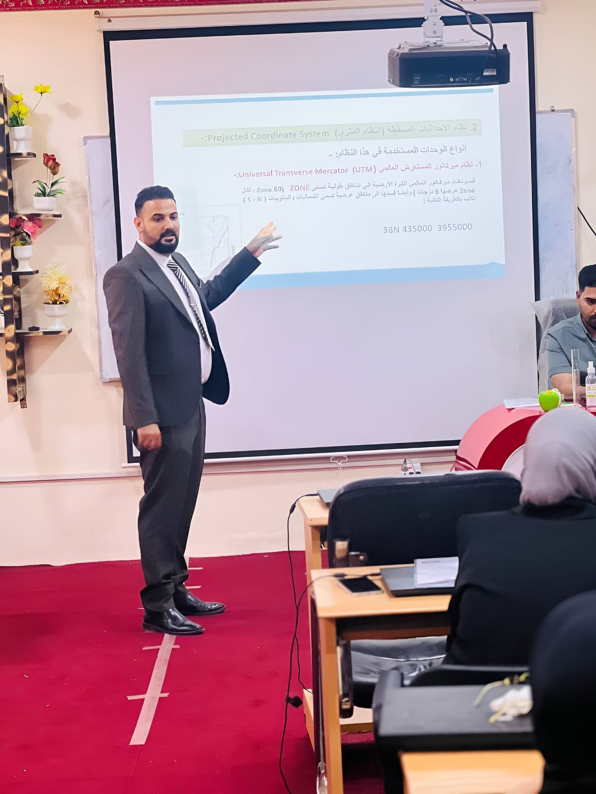
Under the patronage of the President of Al-Qadisiyah University, Professor Dr. Rahi Kalf Mahdi Al-Yasiri, and under the supervision of the Dean of the College of Science, Professor Dr. Salwan Ali Obaid, the Department of Environment at the College of Science held a training course entitled “Coordinates in the Service of Scientific Research and Disaster Management.” Lectured by Asst. Wassan Abdullah, M.M. Aqeel Thamer, and M.M. Ali Karim, the course aimed to highlight the importance of spatial coordinates (GIS) technologies in supporting scientific research and enhancing disaster management efficiency, as part of efforts to achieve the Sustainable Development Goals. In scientific research, the course demonstrated how spatial analysis (GIS) facilitates understanding various phenomena, such as tracking environmental changes, monitoring pollution rates, and analyzing epidemic patterns. This enhances the ability to make accurate scientific decisions and develop effective strategies. The course recommended the importance of developing specialized skills in dealing with environmental systems and enhancing research cooperation, ensuring the optimal use of GIS technologies to serve the Sustainable Development Goals.
 and their role in scientific research and disaster management to achieve sustainable development goals.)
لا تعليق